
From St Jean-Pied-du-Port to Santiago de Compostela (769 km)
The French Way or the Camino Frances is the Jacobean itinerary with the most deep-rooted historical tradition and the most popular one. Over 60% of the pilgrims choose the Camino Frances because it is the route where you can get the most of the “pilgrim experience.” There are many pilgrims that you will meet on your journey, and there are many facilities that cater to pilgrims. It is also the best-waymarked route of all.
Guided and Self-Guided Tours
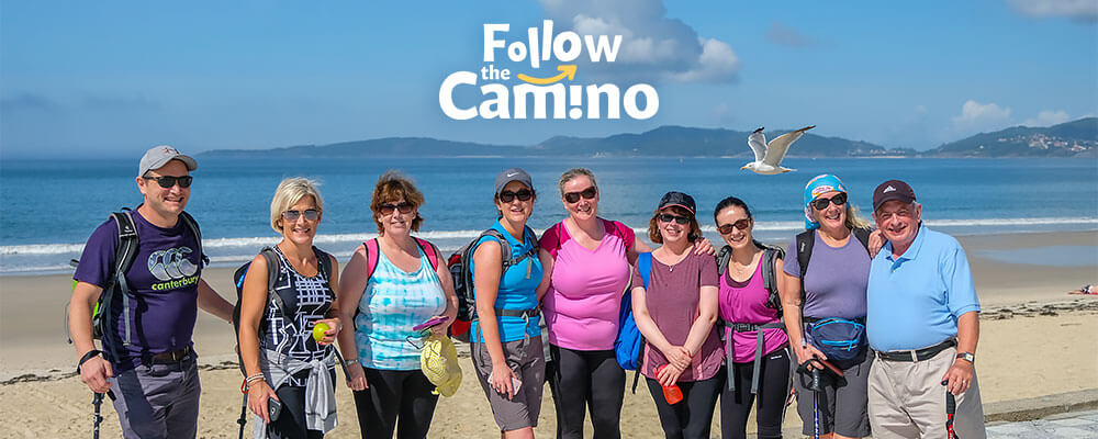
Walking or cycling the Camino Frances through an organized tour is possible. We recommend contacting our trusted partner, Follow the Camino, to assist you in planning your Camino.
Follow the Camino provides customized/flexible itineraries, comfortable private rooms & bathrooms, luggage transfers, 24/7 support, airport transfers, breakfast & dinners, and other add-ons like food & wine tours, excursions, premium accommodation, etc.
History
The route, which crosses the north of the Iberian Peninsula, became a set itinerary in the late XIth century thanks to the efforts of monarchs like Sancho III the Greater and Sancho Ramirez de Navarra y Aragon. The main routes of the Camino Frances in France and Spain were described in detail around 1135 in Codex Calixtinus, an essential book on Jacobean cultural tradition. This book is a bona fide medieval guide describing the pilgrimage to Santiago. It enumerates the different stretches of the French Way from the lands of Gaul. It offers detailed information on the sanctuaries along the Camino, including comments on the hospitality, the people, the food, natural springs, local customs, etc.
This guide, attributed to the French cleric, Aymeric Picaud, reveals the political and religious interest behind promoting the sanctuary of Santiago de Compostela and making it easily accessible. Yet, it also bears testimony to the demand for this type of information.
Over the centuries and with the political and religious avatars in Europe, the physical route of the Camino Frances lost the clout it once had. It was not until the end of the 19th century that a new interest in Jacobean matters arose, continuing into the second half of the 20th century, with the progressive recuperation of the old itinerary, internationally recognized as one of the historical symbols of European unity.
Waymarking
The waymarking along the route is, in general, extremely good. In France, the route from St.-Jean-Pied-de-Port is part of the long-distance GR65 footpath and is marked by the red and white flash of the GR network.
There are separate red and white to indicate direction changes, and a red line crossed with a white one to indicate that you have taken the wrong turn. In Spain, the official mark is the stylized scallop shell on a blue background, which is often placed on the walls of houses well above eye level to indicate the route through villages and towns. These signs are often embedded in small concrete pillars in the open country.
There are also signboards with this mark at the top, a pedestrian sign in the middle, and a direction arrow at the bottom; these are much used at road crossings. The red and white GR flashes are also found from time to time in Spain. However, the most common mark is a yellow arrow, which may be painted on trees, rocks, kerbstones, stormwater gutters, etc. Sometimes a yellow stripe is painted on trees as a continuation marker for reassurance. Some other waymarks incorporating the scallop shell can be found in the photographs.
Waymarking can never be perfect – logging operations appeared to have removed all the marks at two points on this trip, though it was reasonably obvious which way the path continued.
Camino Frances Route
STAGES: